
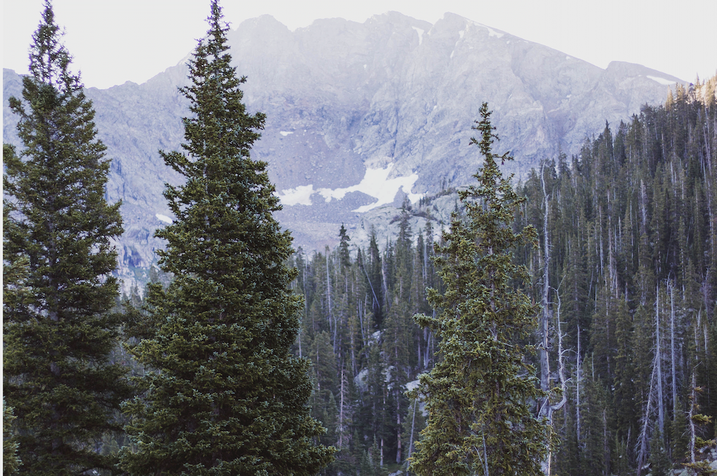
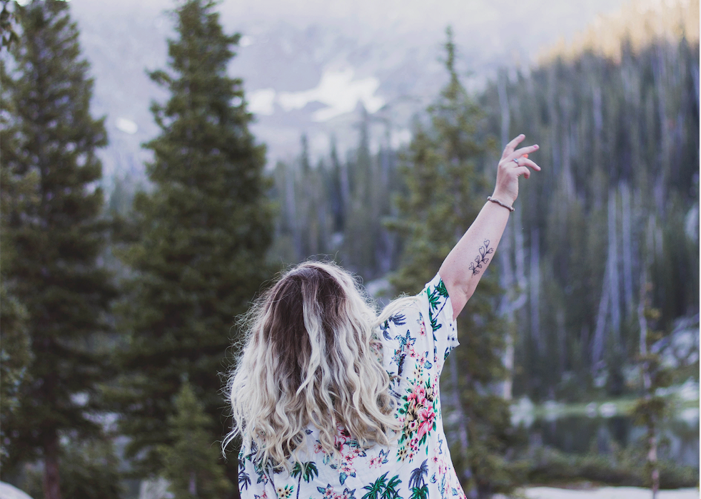
Backpacking to Lake Charles to find yourself in a sea of aspens, wildflowers and evergreens as you make your way through epic views in the Holy Cross Wilderness Area.
I decided to make an Outbound listing for this because the AllTrails listing is incredibly inaccurate. Hopefully you’re reading this one!
Your adventure starts at the trailhead of Fulford Cave / Fulford Cave Campground in Yeoman Park. Yeoman Park is just past Sylvan Lake State Park and is considered National Forest Land. If you’re planning to hit this trail in the summer on a weekend, I recommend camping the night before either at Yeoman Park or Fulford Cave Campground (you must pass Yeoman to get to Fulford). Be prepared for day use and overnight fees depending on your journey.

This trail requires a self-served permit which you will get about 2 miles into your journey, but be sure to pay at the trailhead for your car’s permit. Once you’ve parked, head towards the big gate – you will see two trail signs. One to the left which says “Fulford Cave” and one to the left that says “Lake Charles” and “Ironedge,” for this trip – we will take Lake Charles. Ironedge will ultimately get you to the same destination but it’s a couple miles longer and a bit more elevation.
Backpacking to Lake Charles is considered a “hard” trail, but can be done by intermediates.
As soon as you cross through the gate you will see a small trail to your left about 10-20ft in, the sign is sometimes hidden by trees so be sure you do not continue ahead on Ironedge (trail listing also incorrect, but marker is accurate) – cut left for Lake Charles. From here, you will follow the trail for about 2 miles before you get to the border of Holy Cross Wilderness Area, that is where you will get your backpackers permit. Note it is free. Be sure to tie your tag to the outside of your pack so it is visible to any rangers.
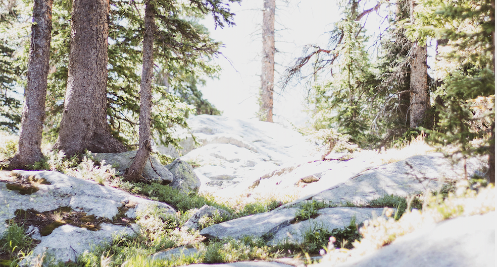
From here, your journey will continue another 3.5-4.5 miles depending on how far around the lake you wish to camp. The first campable areas pop-up at 5.2 miles. Keep in mind that AllTrails tracks this lake to be 4.2 miles in, so if you’re using a tracker of any kind – don’t be discouraged, keep going and you will hit the lake. In total, you will do 1700ft of elevation gain, most of which is concentrated in the last 1.5 miles – it’s hard, but there’s lots of spots to take a break and loads of shade.
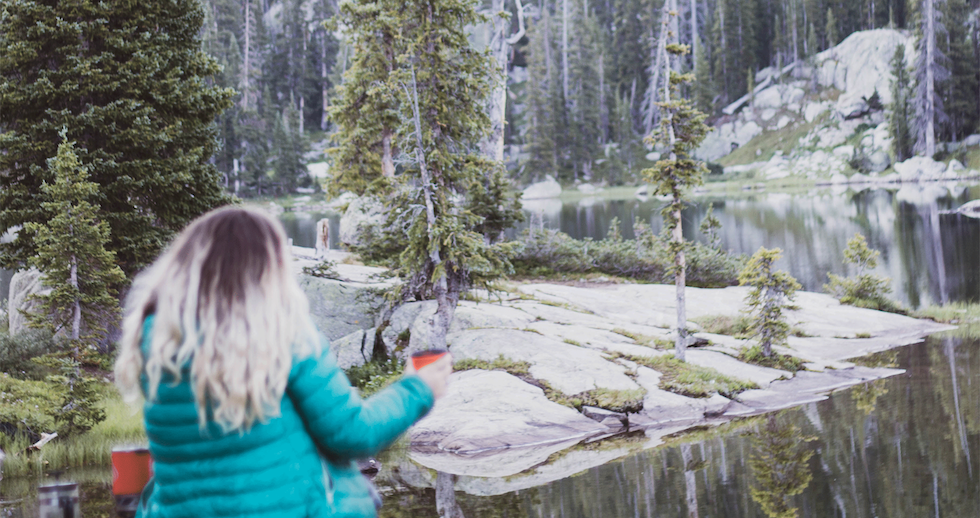
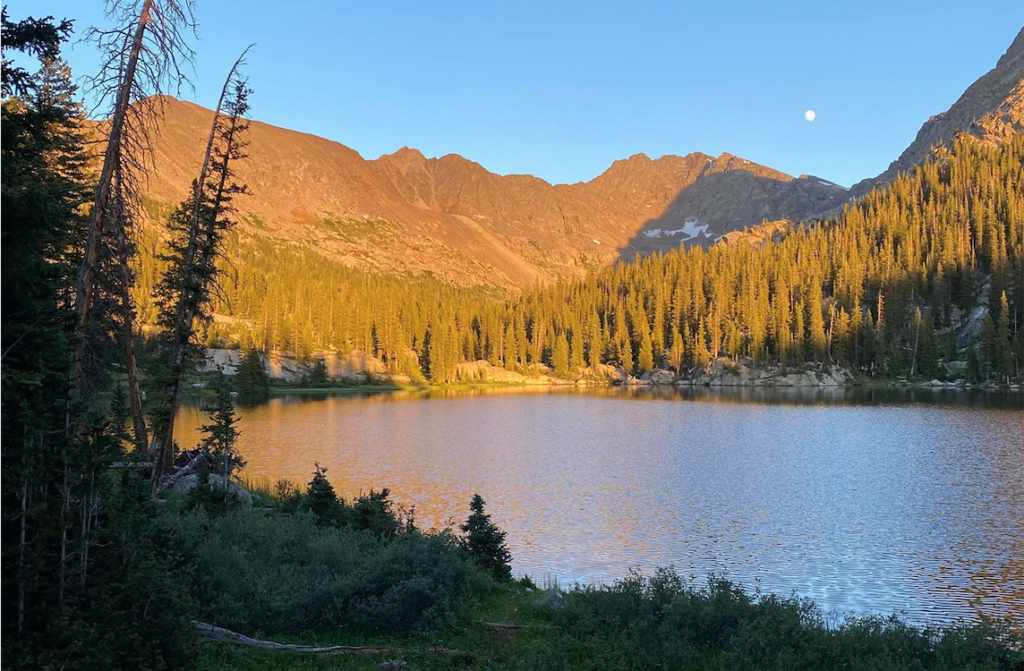
Once you arrive to the Lake Charles area there is another sign that designates it as such, you can camp anywhere along here but do not camp within 100 yards of the lake or the trail. Many people fish at Lake Charles as well as the lake further up, Mystic Island Lake. Mystic Island Lake is about another 1.5-2 miles from Lake Charles and adds another 1500+~ elevation gain. I suggest camping out at Lake Charles and then venturing up to Mystic the following day. You can also camp at Mystic Island Lake.
Good Things to Remember When Backpacking
Be sure to bring a trash bag, there are no trash cans on the trail (obviously!) and there’s none at the campgrounds either, so you will have to pack it out. This is also BEAR COUNTRY, be sure to bring a bear bag or canister (required). Additionally, be sure to check for local fire bans. If it’s summer, bet on there being one. This trail is dog friendly and you’re allowed to take a dip in the water too, just be respectful! If you liked this guide, you might enjoy my outdoors guide on backpacking Copper Creek to Triangle Pass for Conundrum Hot Springs.
